
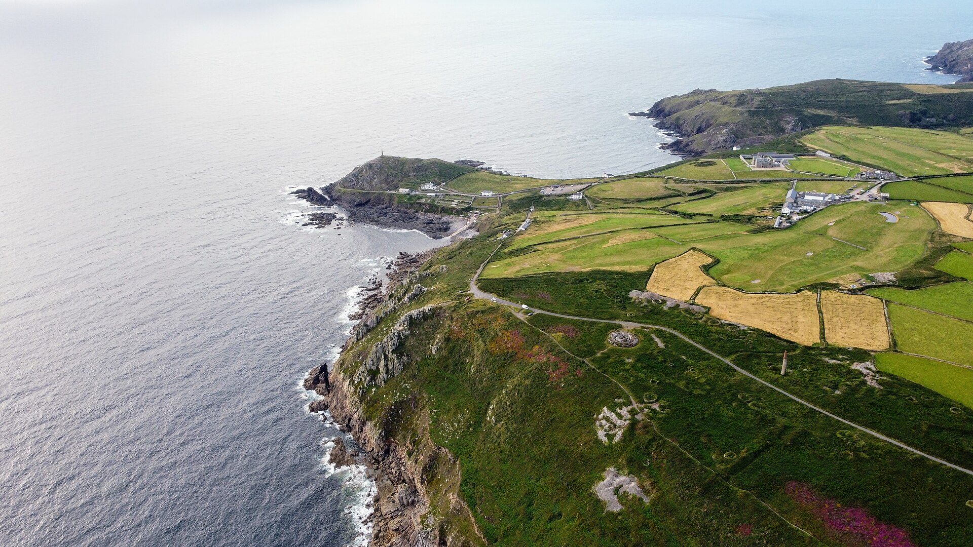
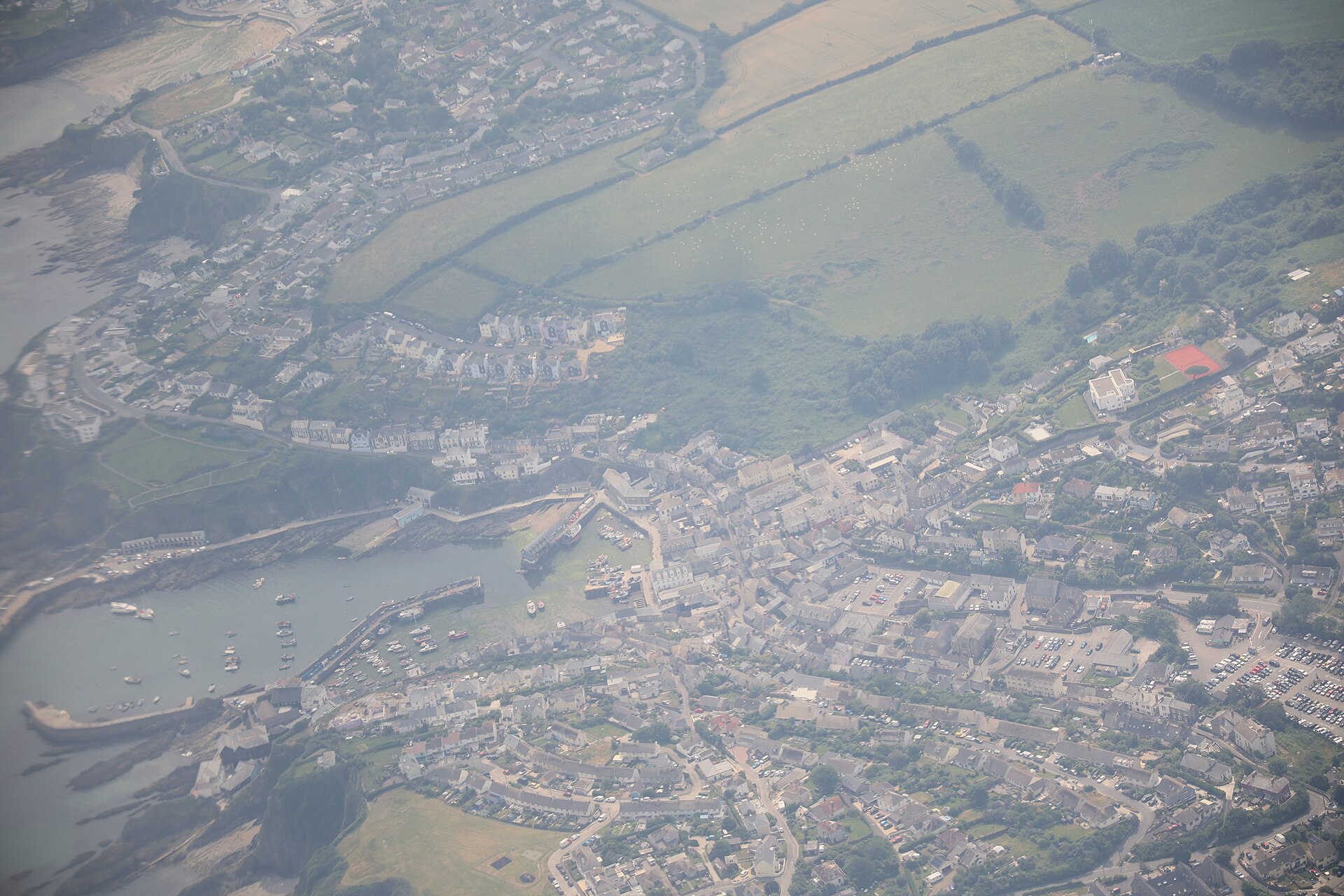
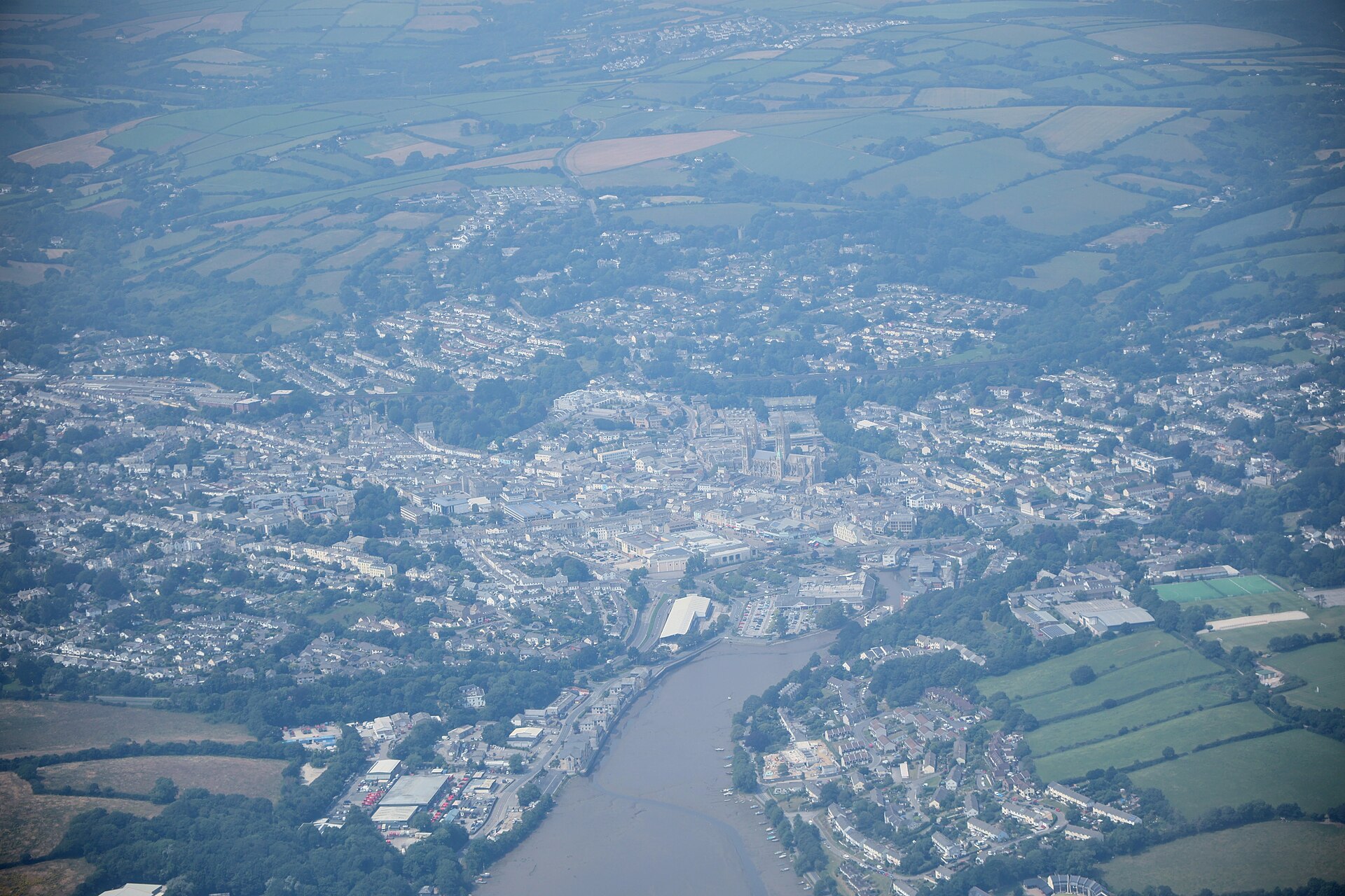
Cinematic aerial photography, survey-grade mapping and precision inspections — captured from the air, delivered as imagery and data you can act on.
Six core services covering every aerial need — from a single hero shot to a full corridor survey.

Breathtaking stills and cinematic video for tourism, property, events and marketing — colour-graded and delivered ready to publish.

Survey-grade orthomosaics, 3D models, volumetrics and contour maps. Precise measurements for planning, construction and land management.

Safe, close-range inspection of roofs, towers, turbines, pylons and offshore structures — no scaffolding, no rope access, no downtime.

Expert guidance on where drones add value — flight planning, regulatory approvals, data pipelines and choosing the right sensors for the job.

Hands-on flight instruction and operational training to get your team confident, capable and compliant behind the controls.

Unusual brief? We scope, fly and deliver bespoke aerial projects — repeat monitoring, change detection, AI analysis and more.
Professional kit, licensed pilots and a workflow built to turn flights into finished deliverables.
Transparent day-rate packages for photography and video. Survey, inspection and ongoing-monitoring work is quoted per project.
● AI LAND-USE MONITORING
Our AI platform turns aerial and satellite imagery into actionable intelligence — detecting every building along a pipeline, powerline or concession and flagging encroachment before it becomes a problem.
Built on the same drone expertise, AfriScan adds automated detection, buffer-zone risk scoring and professional reports for infrastructure operators across Africa.
Explore AfriScan →Tell us about your project — location, dates and what you need delivered. We'll come back with a plan and a quote.
Or email us directly at [email protected]